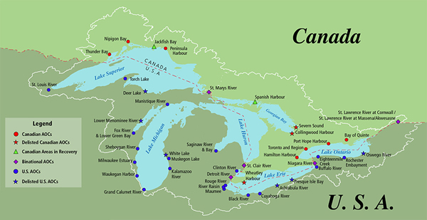
An Area of Concern (AOCs) is a location where the environment has been damaged by people. To qua
The Great Lakes—Superior, Michigan, Huron, Erie and Ontario—and their connecting channels form the largest fresh surface water system on Earth. If you stood on the moon, you could see the lakes and recognize the familiar wolf head shape or the mitten bounded by lakes Michigan, Huron and Erie.
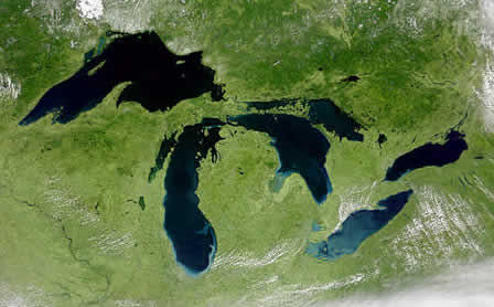

More than 33 million people live, work, and play in the Great Lakes watershed. Discover the unique characteristics of each of the Great Lakes. Then dive into some of the big issues facing the Great Lakes, including climate change, humans, invasive species, and the future.

Lake Erie is the shallowest of the Great Lakes (averaging only 62 feet) and overall the smallest by volume. Erie is also exposed to the greatest effects from urbanization and agriculture. Lake Erie measures 241 miles wide and 57 miles from north to south, and has 871 miles of shoreline. Because it's not as deep as the other lakes, Erie warms rapidly in the spring and summer and is frequently the only Great Lake to freeze over in winter.

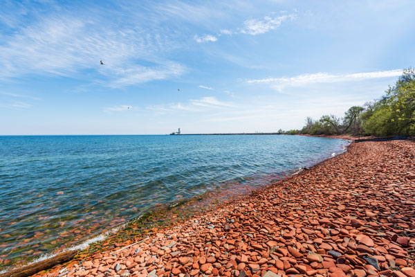
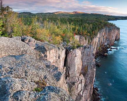
Lake Huron is the third largest of the Great Lakes by volume, holding nearly 850 cubic miles of water. The shores of Huron extend more than 3,800 miles and are characterized by shallow, sandy beaches and the rocky coasts of Georgian Bay. Lake Huron is 206 miles wide and approximately 183 miles from north to south. Home to many ship wrecks, the lake averages a depth of 195 feet.